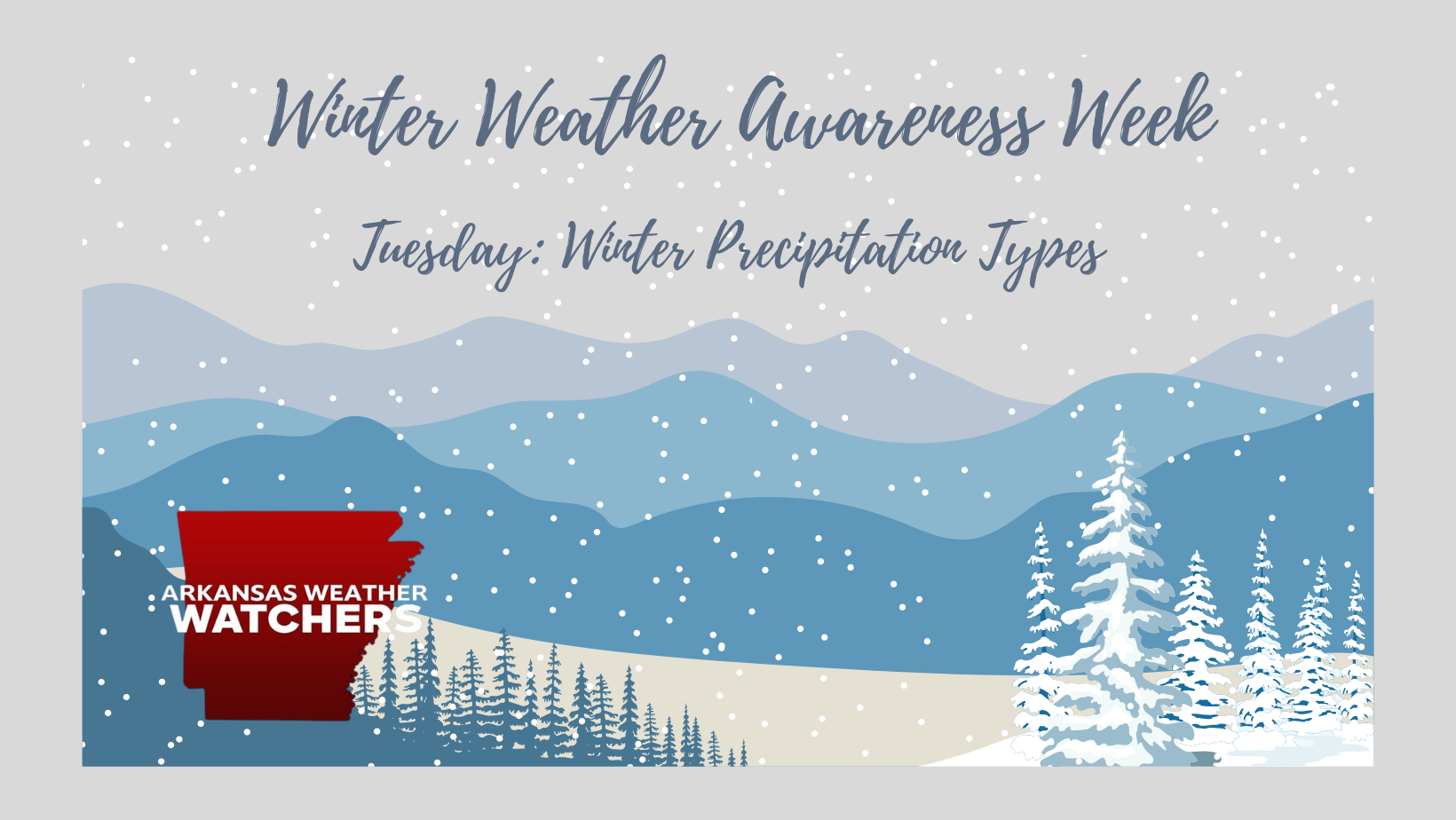
Tuesday: Understanding Winter Precipitation Types
As part of Winter Weather Awareness Week, today we’re focusing on the different types of winter precipitation that impact Arkansas. Understanding these precipitation types and how they form can help you stay safe during winter weather events.
Types of Winter Precipitation
Winter precipitation is influenced by temperature layers in the atmosphere. Here are the primary types:
1. Snow
- Formation: Snow forms when temperatures remain below freezing (32°F) from the clouds to the ground. Ice crystals grow within clouds and stick together to create snowflakes.
- Characteristics: Snow is light and fluffy when temperatures are very cold but can become wet and heavy near the freezing mark. Wet snow can cling to trees and power lines, increasing the risk of outages.
- Impact: Accumulating snow can make roads slick, reduce visibility, and disrupt travel and daily life. It is less common in Arkansas but still occurs during colder winters.
2. Sleet
- Formation: Sleet begins as snow but passes through a shallow layer of warmer air where it partially melts. It refreezes into small ice pellets before reaching the ground.
- Characteristics: Sleet bounces upon impact and does not stick to surfaces as easily as freezing rain.
- Impact: While sleet doesn’t coat surfaces like freezing rain, it can accumulate on roadways, creating hazardous travel conditions. Sleet is common during mixed precipitation events in Arkansas.
3. Freezing Rain
- Formation: Freezing rain starts as snow, melts completely in a warm layer of air, and then falls into a shallow layer of freezing air near the surface. It does not refreeze before hitting the ground but instead freezes upon contact with cold surfaces.
- Characteristics: Freezing rain forms a glaze of ice on roads, trees, power lines, and other exposed surfaces.
- Impact: Even a thin layer of freezing rain can make roads extremely dangerous. Heavy ice accumulation can cause power outages and tree damage. Ice storms are one of the most hazardous winter weather events in Arkansas.
4. Wintry Mix
- Formation: A wintry mix occurs when multiple precipitation types (snow, sleet, freezing rain) fall during a single event. This happens when atmospheric temperature layers vary significantly within a storm.
- Characteristics: The specific mix depends on the storm’s dynamics, with conditions often shifting during the event.
- Impact: Wintry mixes create unpredictable and hazardous travel conditions, as surfaces can alternate between being icy, slushy, or snow-covered.
Understanding the Role of Temperature Layers
Winter precipitation depends on the temperature profile of the atmosphere:
- Snow: Below freezing from cloud to surface.
- Sleet: Below freezing at the cloud level, a shallow warm layer in the mid-atmosphere, and freezing near the surface.
- Freezing Rain: Below freezing at the cloud level, a deep warm layer in the mid-atmosphere, and freezing at the surface.
- Rain: Above freezing throughout the atmosphere.
These layers determine whether precipitation will fall as snow, sleet, freezing rain, or rain.
Safety Tips for Winter Precipitation
- Avoid Travel: If freezing rain or sleet is expected, postpone travel whenever possible.
- Drive Cautiously: Use extreme caution on icy or slushy roads. Reduce speed and increase following distance.
- Prepare for Power Outages: Freezing rain can lead to downed power lines. Have flashlights, batteries, and a backup heat source ready.
- Stay Informed: Monitor Arkansas Weather Watchers for updates on developing systems and precipitation types.
Conclusion
Arkansas’s winters may bring a variety of precipitation types, each with unique challenges. Understanding the differences and preparing accordingly can help you stay safe during winter weather events. Tomorrow, we’ll discuss Winter Weather Watches, Warnings, and Advisories to help you better interpret these alerts.
Stay safe and stay informed!
John Cook Arkansas Weather Watchers
