Natural State of Weather and Sports in One Place
Derek Smith • September 1, 2025
BREAKING RECORDS
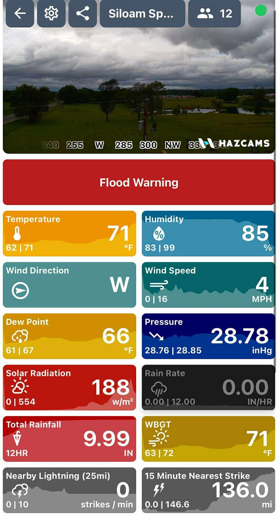
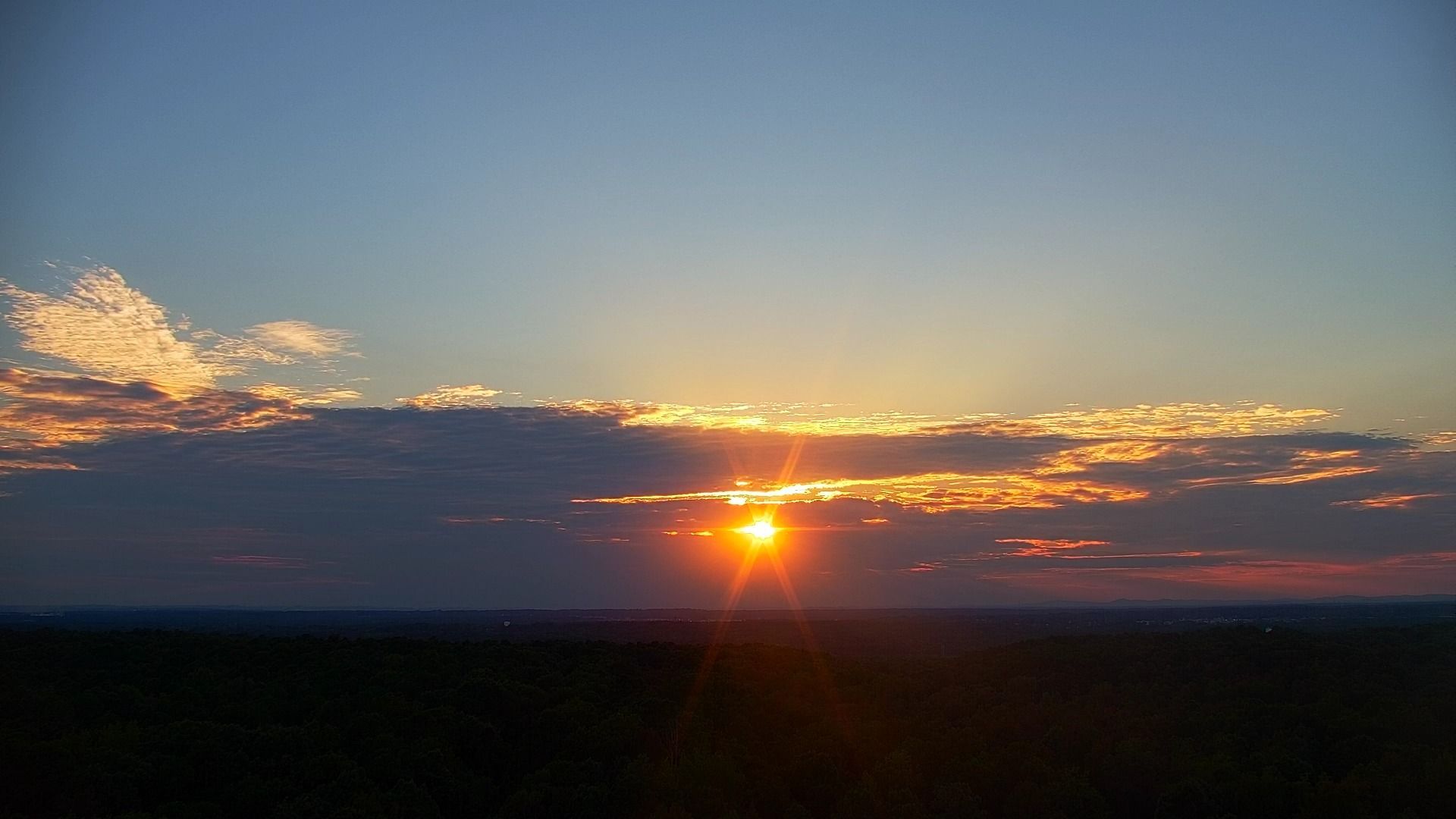
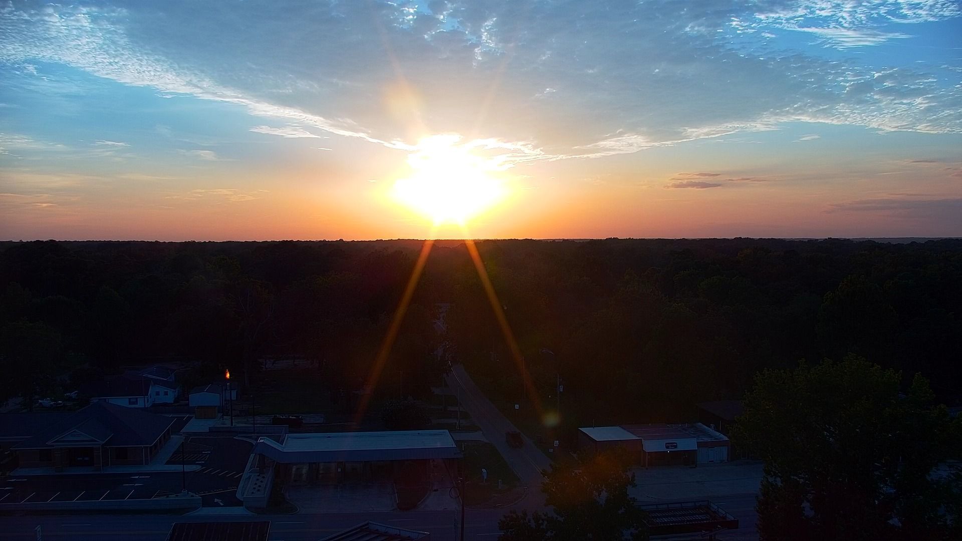
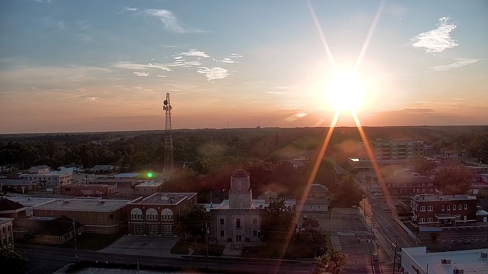
The final week of the meteorological summer saw anything but summer-like weather. Showers and thunderstorms held the story in weather for much of the week, a week that is normally amongst the driest of the year. Typically we see our least amount of rainfall during the year in August and early September especially around Labor Day Weekend, unless of course we are dealing with a tropical system. This year however, as we already know has been anything but normal. Winter lasted well into Spring, tornado season was non stop until basically Father’s Day, and then we didn’t even see very hot weather until basically after the 4th of July. So why would late summer be any different? In a state that normally sees temps in the 90s and 100s through nearly Halloween, this year has seen a welcome change. That change though, did come at a price. Instead of severe weather we saw record amounts of rainfall and daily records shattered. Not only that, but record low HIGH temps were challenged throughout the past week. In a state in desperate need of rain, this was greatly welcome.
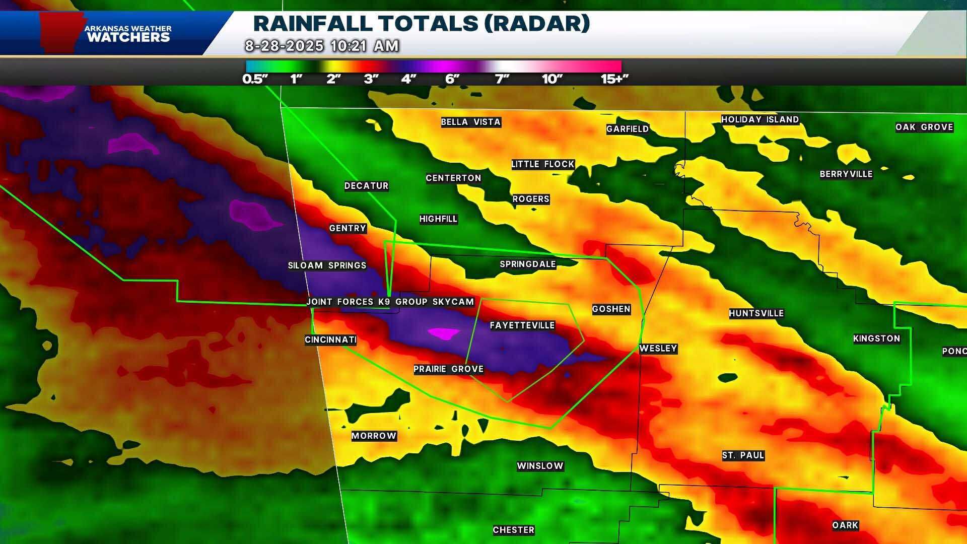
Rainfall Totals from NWS in Little Rock and Tulsa regarding heaviest amounts on August 28th
Public Information Statement
National Weather Service Little Rock AR
729 PM CDT Thu Aug 28 2025
...PRECIPITATION REPORTS 8/28/2025...
Location Amount Time/Date Provider
...Arkansas...
...Arkansas County...
HUMPHREY 3.98 in 0659 PM 08/28 CWOP
...Conway County...
Petit Jean Mountain 8.35 in 0249 PM 08/28 Public
2.1 S Morrilton 5.44 in 0615 PM 08/28 HADS
1.7 NW Oppelo 4.85 in 0600 PM 08/28 HADS
...Faulkner County...
0.9 E Mayflower 6.23 in 0700 PM 08/28 HADS
5.0 S Menifee 5.62 in 0600 PM 08/28 HADS
Conway 4.61 in 0645 PM 08/28 CWOP
Conway 3.88 in 0705 PM 08/28 AWS
Vilonia 3.12 in 0645 PM 08/28 CWOP
...Garland County...
3.8 SE Hot Springs 3.15 in 0600 PM 08/28 HADS
...Johnson County...
2.9 E Lamar 4.36 in 0700 PM 08/28 HADS
Clarksville 3.47 in 0655 PM 08/28 CWOP
Devils Knob RAWS 3.20 in 0608 PM 08/28 RAWS
...Perry County...
Bigelow 1.9 NE 3.95 in 0800 AM 08/28 COCORAHS
...Pope County...
RUSSELLVILLE 5.35 in 0657 PM 08/28 CWOP
Illinois Bayou 4.75 in 0700 PM 08/28 HADS
Russellville Airport 4.56 in 0653 PM 08/28 ASOS
3.7 W Hector 4.28 in 0630 PM 08/28 HADS
Russellville 1 S 4.24 in 0651 PM 08/28 CWOP
Big Piney Creek 3.74 in 0700 PM 08/28 HADS
8.1 NW Dover 3.65 in 0645 PM 08/28 HADS
Dover 3.63 in 0900 AM 08/28 COOP
...Pulaski County...
GIBSON 6.57 in 0700 PM 08/28 CWOP
Maumelle Dam 6.18 in 0700 PM 08/28 HADS
North Little Rock Arpt. 6.12 in 0645 PM 08/28 CWOP
4.3 W Maumelle 5.44 in 0600 PM 08/28 HADS
Little Rock 5.40 in 0645 PM 08/28 CWOP
Jacksonville 5.28 in 0658 PM 08/28 CWOP
Little Rock Adams Field 4.99 in 0653 PM 08/28 ASOS
Jacksonville 4.98 in 0655 PM 08/28 CWOP
Gravel Ridge 4.71 in 0650 PM 08/28 CWOP
Little Rock AFB/Jacksonville 4.30 in 0655 PM 08/28 AWOS
Roland 4.2 WNW 3.72 in 0800 AM 08/28 COCORAHS
7 WSW Maumelle 3.59 in 0700 PM 08/28 AWS
RECORD EVENT REPORT
NATIONAL WEATHER SERVICE TULSA OK
0206 AM CDT FRI AUG 29 2025
...RECORD DAILY MAXIMUM RAINFALL SET AT FAYETTEVILLE ARKANSAS...
A RECORD RAINFALL OF 4.26 INCHES WAS SET AT FAYETTEVILLE ARKANSAS
THURSDAY AUGUST 28 2025.
THIS BREAKS THE OLD RECORD OF 1.37 INCHES SET IN 1964
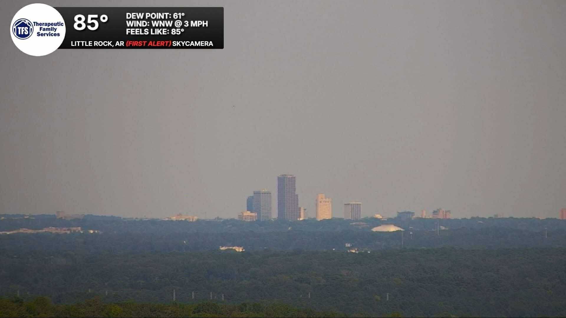
While most of us saw 60s in the afternoon where it was raining across the state, record temps fell just short thanks to midnight temps in the 70s, however an early taste of fall was seen. According to the forecast team here at Arkansas Weather Watchers, we look to see another very nice week ahead with temps by next weekend dropping into the 70s once again.
FALL WEATHER AND FOOTBALL ALL EYES ON THE LITTLE ROCK METRO
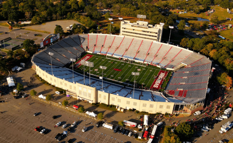
Everyone's Favorite season is here! Well, almost everyone. For some, deer season is here. For others though, its full speed ahead for those Saturday cookouts and tailgates. With football season in full force, all eyes will be on the Little Rock Metro for the game that has been 60 years in the making, Arkansas vs Arkansas State. This game will be played at the historical War Memorial Stadium and of course tailgates and weather will be among the top story. As of this writing, one of the best weather forecasts temperature wise is set to show up in Little Rock with a kickoff temp in the 70s with temps falling through the 60s during the game. Once caveat to the forecast according to Chief Forecaster Cameron Barnes is going to be the chance of rain. “As of now, we could be dealing with a few isolated to widely scattered showers and thunderstorms but most of the game should be dry and cool. If you are planning on tailgating, make sure to bring a jacket as the morning temps could be on the cool sides with temps starting in the 50s and when you go home back in the 50s once again” says Barnes. So for those you planning to attend this historical game, it will be the best weather we have seen in recent memory. For example last years matchup vs UAPB temps were in the mid to upper 90s with heat index values over 105. So for football in Little Rock for such a high profile game, it will be the best weather since the days of beating LSU in Little Rock.
Just for fun here are some staff predictions for Saturday’s big game in the metro:
DEREK SMITH, PRESIDENT ARK 45 ASU 35
CAMERON BARNES, VICE PRESIDENT ARK 42-ASU 21
TAYLOR SCHMIDT, DIRECTOR OF FINANCIAL AFFAIRS ARK 21-ASU 14
ANNA EDWARDS, MEDIA TEAM ARK 30-ASU 15
HEIDI REYNOLDS, DIRECTOR OF METEOROLOGICAL RELATIONS ARK 27-ASU 24
LAURIE KELLEY, DIRECTOR OF MARKETING ARK 28-ASU 3
ERICA SMITH, OFFICE MANAGER ASU 50-ARK 30
THE BIGGEST QUESTION IS, WHAT IS YOUR PREDICTION FOR SATURDAY’S BIG GAME?
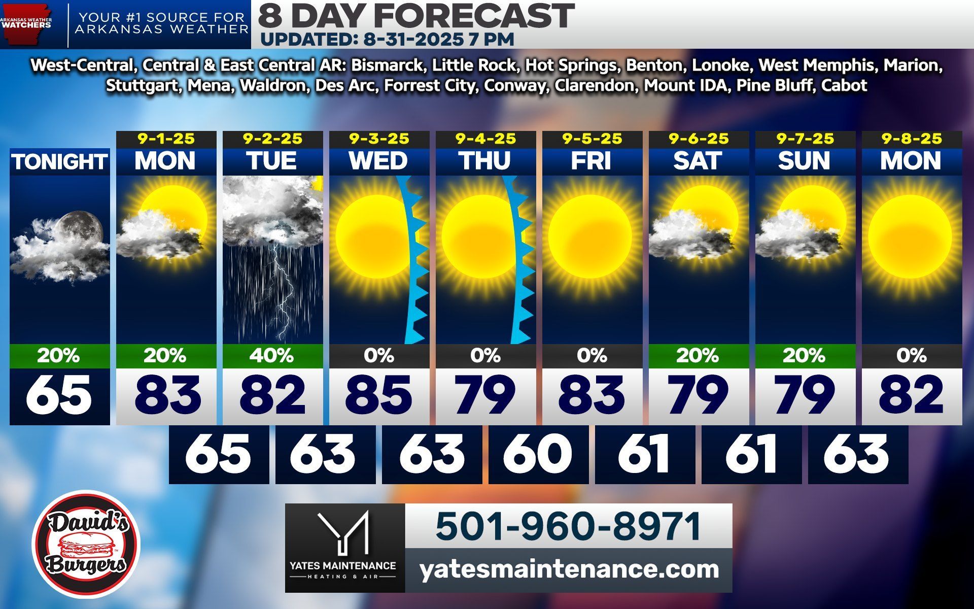
Deer Season is being overlooked but it will be the start of deer season in Arkansas! Overall forecast will be great with temps in the 70s to low 80s during the day.
Sunrise: Partly cloudy with scattered showers 40s north to near 60 south. Winds NE
Lunch: Partly Cloudy with scattered showers 60s north to mid 70s south Winds NE
Sunset: Partly cloudy with scattered showers near 70 north to near 80 south. Winds NE
EXPANSION OF THE CAMERA NETWORK CONTINUES!
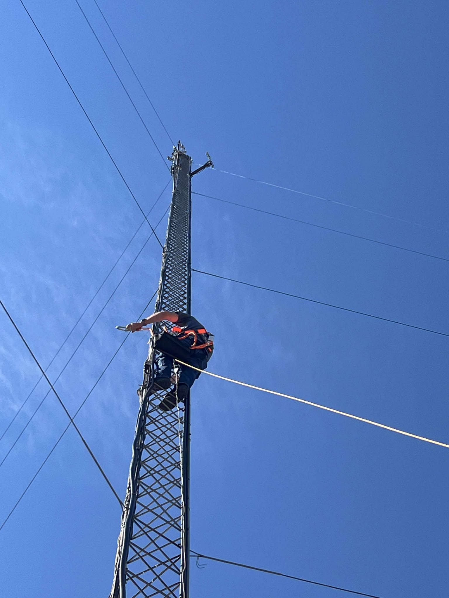
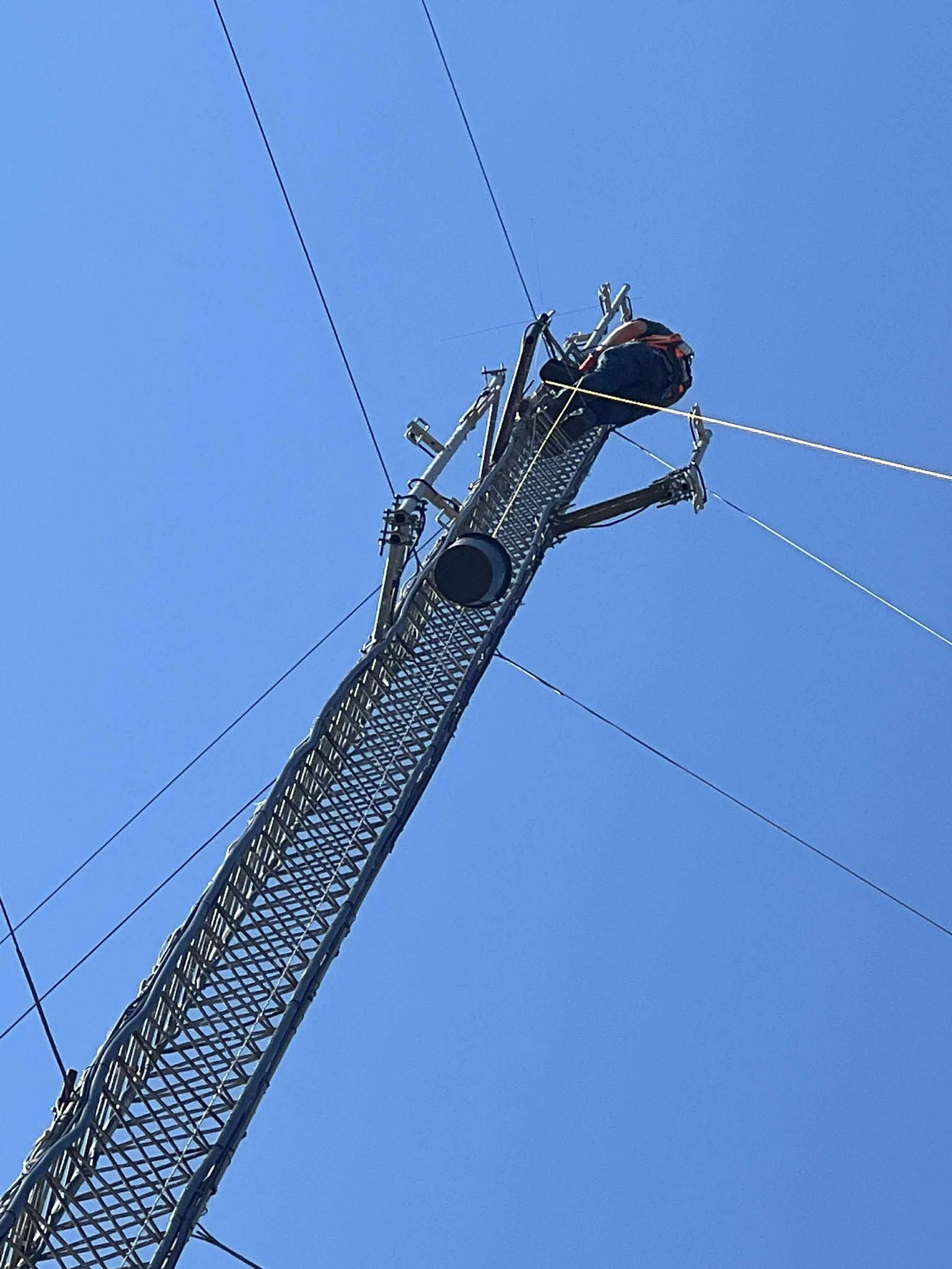
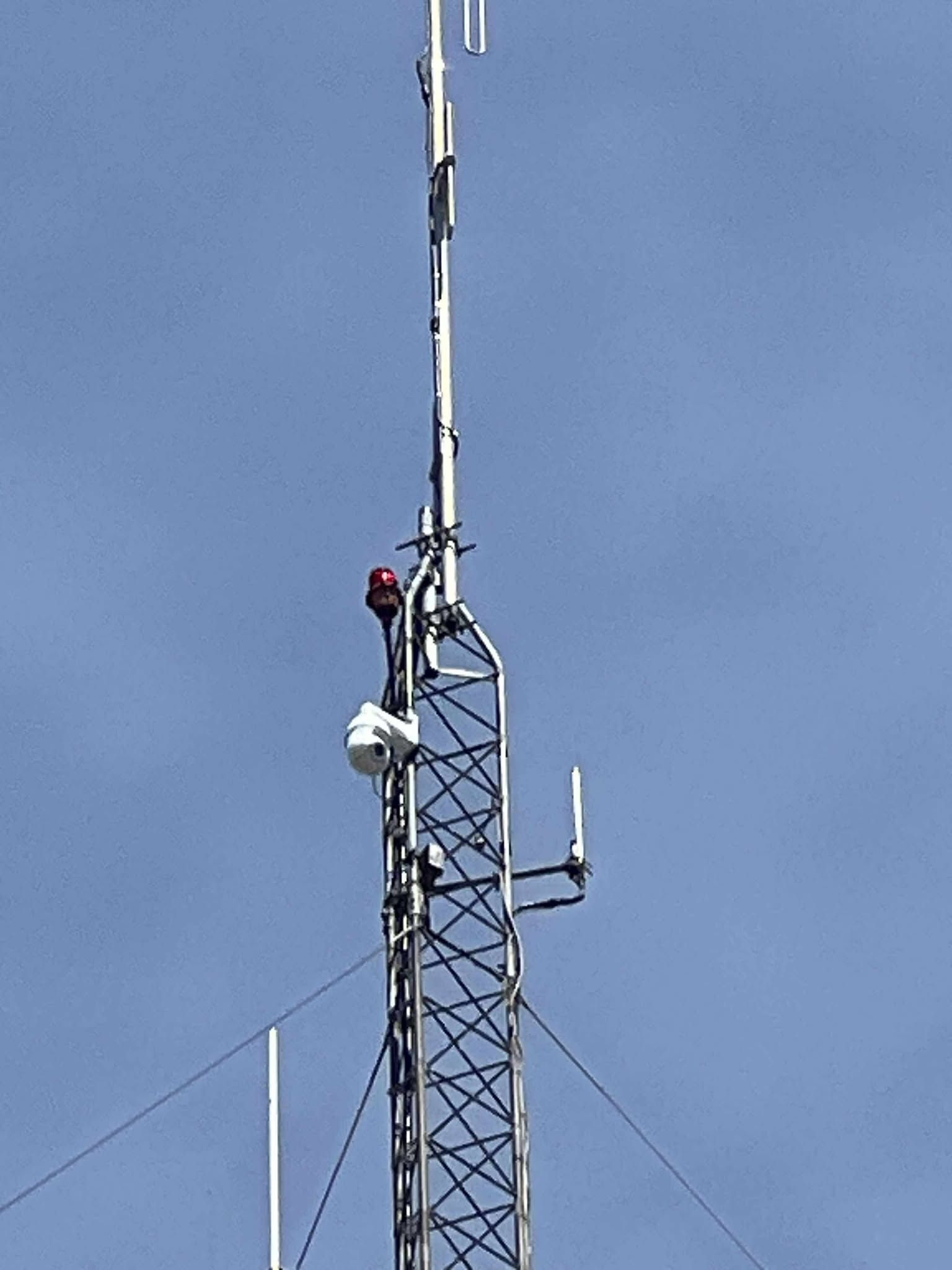
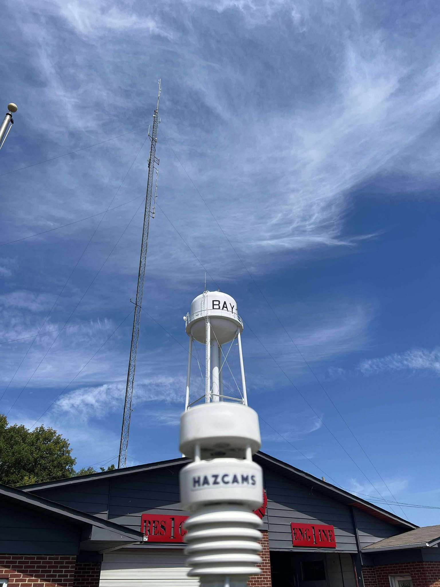
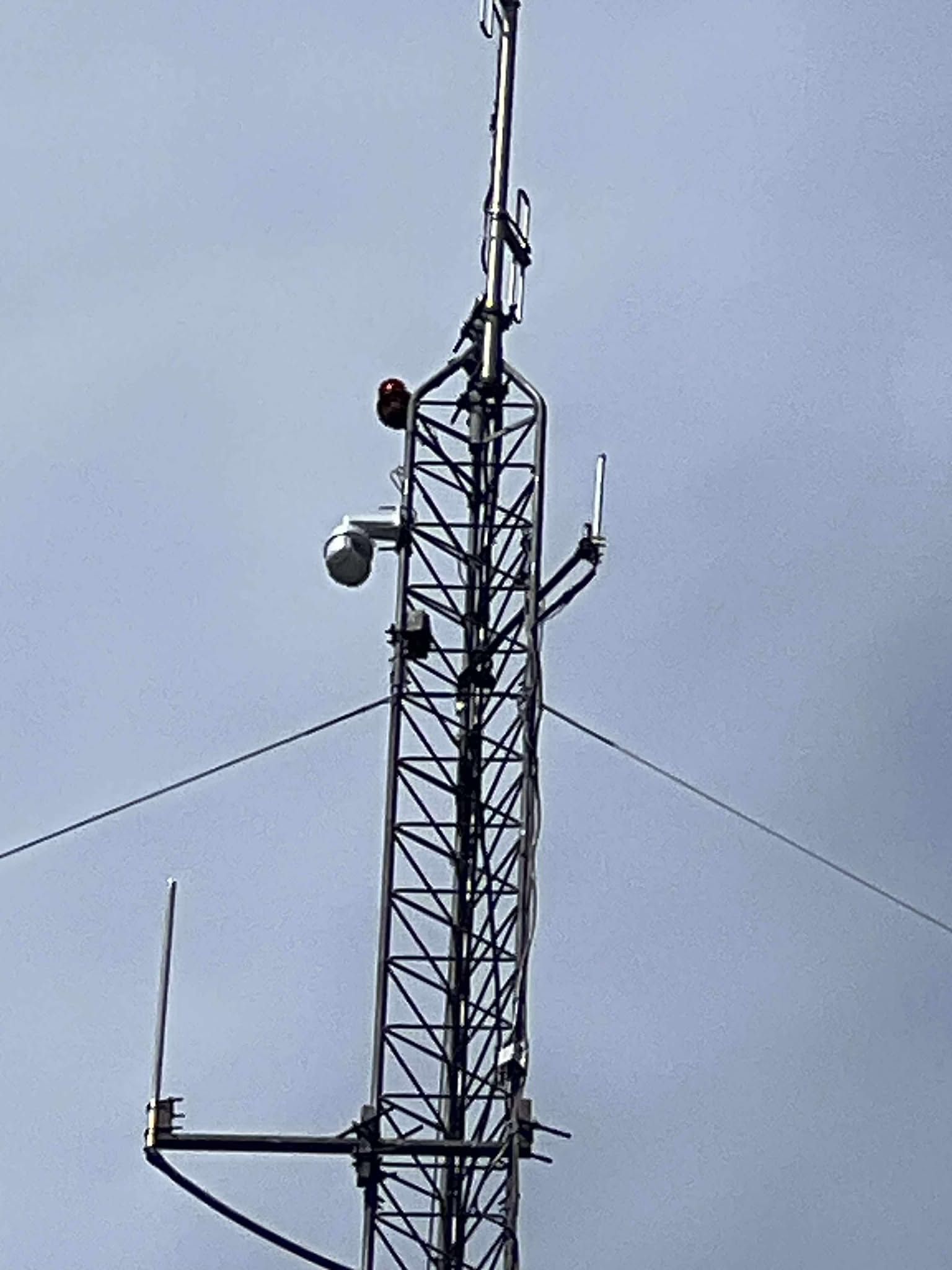
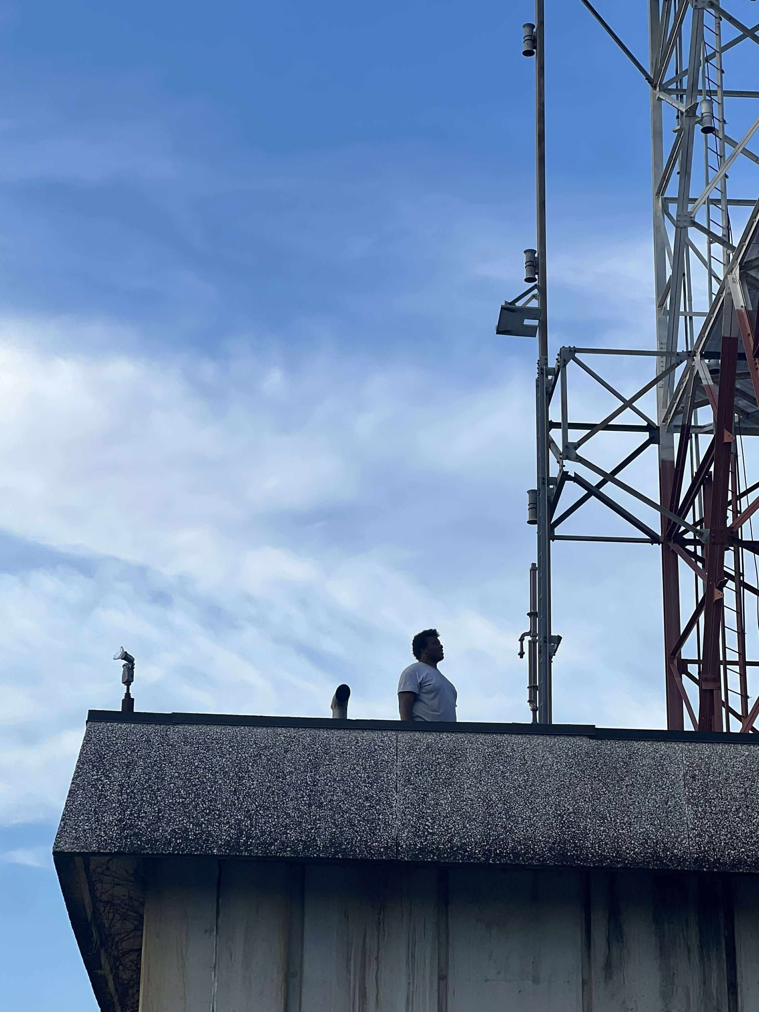
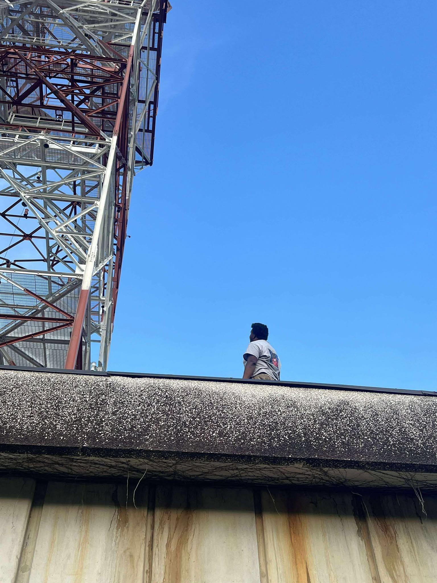
Over the Labor Day weekend, weather camera work continued across the state by our install team. We saw the first Northeast Arkansas camera go online over the weekend in Bay Arkansas that will cover the towns of Jonesboro, Lake City, and Monette when it comes to severe weather. Quite a view from the Bay Fire Department tower overlooking the Mississippi River Delta with a view all the way to Crowleys Ridge to the west and northwest. The other camera that got its final work as the Little Rock Metro first Alert Camera in Alexander that will help to keep an eye on the skies in places like Benton, Bryant, and even the Little Rock metro. You can see all the way to Shinall Mountain and Downtown Little Rock with this camera, and it will serve the metro well in the years to come!
There will be 2 more going online in the coming weeks in Cave City and Malvern Future targets also include places in southwest Arkansas, the river valley and north central as the Arkansas Weather Watchers Team looks to add up to 50 cameras before the spring of 2026. Once again if you are interested in partnering to assist this project email Cameron, Derek, or Laurie at
info@arkansasweatherwatchers.org for more information.
NEW SEASON MEANS NEW LOOKS!
As mentioned last week, a lot of upgrades have taken place to the overall look of how Arkansas Weather Watchers Media Group looks will be changing this week. We will be launching a brand new 24/7 weather network with an all new look and new name this week as well as an all new user friendly website as well! We are VERY excited for this new station to come out. It will be a great addition to how we serve Arkansas and will be available to everyone by the end of this week! We are still working on the Apple side of things, but everywhere you have gotten the Arkansas Weather Watchers Network, you will love the new (Name is a secret until later this week) Network coming to a smart tv near you soon!
BUSINESS ADVERTISING OPPORTUNITIES